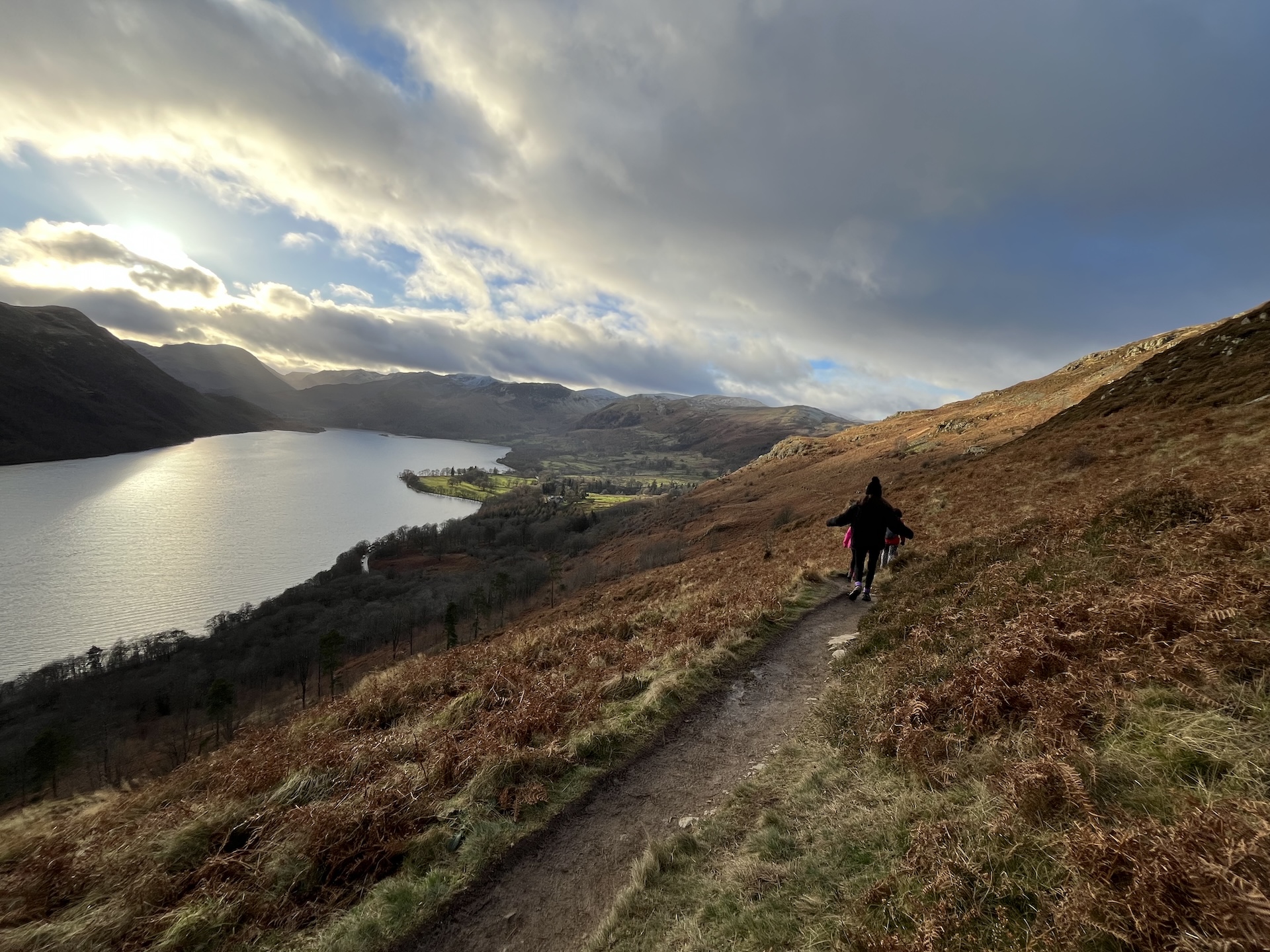
Footpaths from the door
Walking near Ullswater.
The Ullswater Way, Aira Force, Hallin Fell and Helvellyn — routes for every level, close to Westfield.
The Ullswater Way, Aira Force, Hallin Fell and Helvellyn — routes for every level, close to Westfield.
Opened in 2016, the Ullswater Way is a 20-mile waymarked circular route around the lake, created by a partnership between the Lake District National Park Authority, the National Trust, Eden District Council, Ullswater Steamers and the Ullswater Association. It's recognised by the Long Distance Walkers Association, and its daffodil waymark nods to Wordsworth's poem, inspired nearby.
You don't need to walk all 20 miles in one go — the route is designed to be broken into sections, using the steamer to shortcut between piers. Westfield's position in Watermillock, close to the western shore, puts local footpaths and stretches of the Way within easy reach of the cottage door.
A woodland waterfall walk from the National Trust car park, with the option to continue up onto Gowbarrow Fell for wide views over Ullswater.
A short, steep climb from Martindale Church near Sandwick, with disproportionately good views over Howtown and the lake for the effort involved.
Often called one of the most beautiful lakeside walks in the Lake District, hugging the shore below Hallin Fell and Place Fell. Combine with a one-way steamer ticket.
The classic route up England's third-highest mountain from Glenridding or Patterdale, with a famous knife-edge scramble — one of the busiest and best-loved days out in the Lakes.
Beyond Helvellyn, the Far Eastern Fells above Ullswater include Place Fell, St Sunday Crag and the Angletarn Pikes — all reachable from Glenridding or Patterdale for walkers wanting to get further from the lakeshore. For fully family-friendly options, the shorter loops around Aira Force, Hallin Fell and the Dalemain Loop near Pooley Bridge are the easiest introduction.
Map reference: the whole area is covered by Ordnance Survey Explorer OL5 (The English Lakes, North-eastern area).
Free and member routes around Ullswater, including the full circuit and shorter sections.
ramblers.org.uk →Stage-by-stage description of the full 20-mile route from the Ullswater Association.
ullswater.org →The LDWA's national register of long-distance paths, including the Ullswater Way.
ldwa.org.uk →Fell-specific forecasts for the Lake District — check before heading up Helvellyn or the higher fells.
mwis.org.uk →Availability is year-round, whether it's a weekend getaway, a mid-week break, or a longer stay. Check live availability for your dates right here on the page.
Check Availability →When you submit your email address above, it's stored securely and used only to send you occasional updates and offers about Westfield. It is not shared with or sold to third parties. You can at any time. This site also uses Google Analytics cookies to understand how visitors use the site, but only once you've given consent. You can change your choice anytime via .